65930314

Hradčany circuit
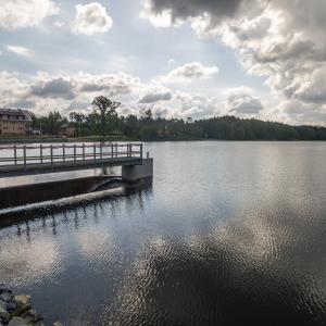
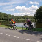
A relaxing bike trip around Hradčany Ponds.
Description of the route: From the information centre in Hradčany we will head east along the locally marked VLS route along the Hradčany Ponds system. After crossing the road II/268 we continue through Skelná Hut' and Hvězdov to Nový Dvůr. Turn left and follow route 3046 to Mimona. Turn left and follow route 241 back to Hvězdov, where you will join the VLS route back to Hradčany.
Hradčany
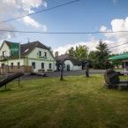
The village in the middle of forests was a military base for many years. In the past, iron ore was mined in the area and processed in a blast furnace standing directly on the dam of the Držník pond, one of the Hradčany ponds. Today, the village is a recreational centre where we can start many trips on foot or by bike. The village has a very well-equipped information centre set up by the Military Forests, which are also the founders of several nature trails in the area. The popularity of Hradčany is certainly enhanced by the possibility of swimming in the Hradčany pond. The airfield, which was built by the German army in March 1945, is a reminder of the military past. After the war, it was used by the Czechoslovak army, which was replaced by the Soviets on 22 August 1968, despite the resistance of the local garrison. The airfield was closed in 1992 and its next use is still being sought.
Hradčany Ponds
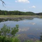
The system of ponds begins in the village of Hradčany. The Hradčanský Pond, along whose embankment the road Doksy - Mimoň runs, is used for swimming. The other four are part of the Hradčanské rybníky reserve, which was declared in 1967 and covers an area of 144.65 ha. In the past years, the area has been the site of intensive movement of military equipment, which, with the exception of the Držník pond, has damaged all the dykes. Currently, everything is being restored. In the adjacent peat bogs, waterlogged meadows and woodland, there is a remarkable aquatic and peatland flora. Birds nest here in abundance. Critically endangered plant species include the water-grass, the plumed foxglove, the marsh woodpecker, the round-leaved sundew and the grey-leaved knapweed. The black stork nests here. During a survey in 1989-93, 698 species of butterflies were found here - the unique ones are the grass warbler, the macaw and the resin warbler.
Ralsko
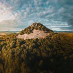
On the right side of our path we will see a distinctive dominant feature of the Podysted area, the basalt cone (696 m above sea level) with rocky and rubble slopes, rock towers and sandstone blocks. At the top is the ruin of one of the oldest castles in Bohemia. It belonged to the powerful Vartenberk family, who held high positions in the provincial administration in the 14th century. It served as a guard castle and customs house on the trade route to Lusatia.
Mimoň
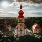
Since the 13th century a fortress stood on this place, in 1371 a small town was mentioned, which became a town in the 16th century. The most valuable monument is the early Baroque Chapel of the Holy Sepulchre, the Church of St. Peter and Paul and the rectory. There are several timbered houses on the perimeter of the town. A negative influence on the development of the town was the fact that it was on the border of a military convoy in the mid-20th century and its visit by tourists was not desirable. At that time, a large part of the old buildings, half of the square and the castle were razed to the ground.
© Geodézie On Line 2009