Around Mužský
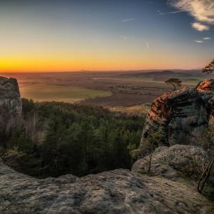
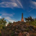
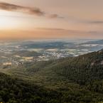
This trip starts at the car park by Dneboh, which stands on the site of the former hamlet of Kavčina, whose houses were destroyed by huge landslides in 1929. Follow the blue markers past the bent pine trees – further proof of the movement of the slope. The markers lead to Drábské světničky, the remnants of a large rock castle. All that remains are rooms carved into the rock and niches that formerly held the beams of the castle. Then continue following the red markers through the rocky chasm of Studený průchod to the Krásná Vyhlídka restaurant. To the right, just before the restaurant, there is a 21-metre-deep chasm in the sandstone. Continue following the green markers as far as Mužský hill, which is the remnant of the intake channel of a Tertiary volcano. There is a beautiful 360-degree view from the summit. From there, walk down to the village of Mužský. This is an open-air heritage reservation, so take a short diversion to see the village green and the timbered cottages. Continue along the road following the green markers as far as the Skalka crossroads, then turn right along the red route. Before the trail starts to rise up to Klamorna, take the unmarked forest trail on the left back to the car park.